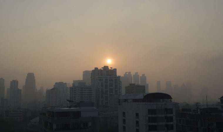
Bangkok Faces Sharp Temperature Drop of Up to 4°C as Winter Weather Approaches
Residents in Bangkok and the surrounding central provinces are being asked to prepare for a sudden and significant drop in temperatures beginning from Monday, 17 November, as a strong high-pressure system moves in from China. According to the Thai Meteorological Department, the Central region including Bangkok, Nonthaburi, Pathum Thani, Samut Prakan, Samut Sakhon and Nakhon Pathom may see a fall of 2–4 °C during the period of 17–23 November.
The department forecasts that the region will experience unstable weather initially, with isolated thunderstorms before the cooling set-in. The North-East region may see a sharper decrease of 4–7 °C. In the South, the prevailing northeast monsoon will drive more rain and strong winds temporarily, despite the cooler central conditions.
For Bangkok specifically, morning minimum temperatures are expected to fall to 22–23 °C, while daytime highs will range between 30–33 °C, according to the official forecast for the metropolitan area. Wake‐up chills and stronger winds are expected, requiring residents to take precautions particularly in early hours.
Authorities advise vulnerable groups — including the elderly, young children and those with respiratory or cardiovascular conditions — to monitor health, bundle up appropriately and avoid outdoor exposure during cooler nights and windy spells. For the South, maritime warnings are in place, with waves expected to climb to 2–3 metres in the Gulf of Thailand during the transition, and small boats are being urged to stay ashore until conditions stabilise.
The cold-air surge comes ahead of the peak of Thailand’s winter season, and meteorologists say it is being driven by a strengthening high-pressure mass extending from northern China through upper Thailand and over the South China Sea. Residents are encouraged to stay updated with forecasts as the event unfolds.